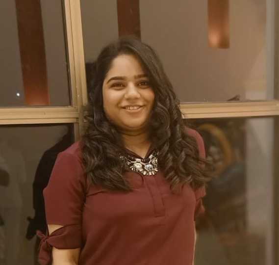
Wajiha
GIS and Remote Sensing Professional
Pakistan | Asia/Karachi (USD)
$4/hr
Full-time : 30+ hrs/week
Full-time : 30+ hrs/week
0, Followers
ABOUT ME
I am a motivated and disciplined student pursuing my passion for environmental protection and GIS for over 5 years. Activism and professional experience combined with modern tools have assisted me in my field. I have been using the GIS tools such as ArcMap, ArcSWAT and QGIS for over 4 years for various projects such as supervised classification, NDVI Calculation, Watershed Modelling and Flood frequency Analysis etc. I have also worked on the leaflet java library to make a map of plastic concentration in European rivers. I can help you with interactive mapping and GIS analysis with complete accuracy within the assigned deadline.